LiDAR and geomatics solutions for your business needs.
Contact - snbeffort@gmail.com
(250) 480 9519
Quality reliable products
Fast turnaround
Proven track record and experience
Services
Software used include;
TerraSolid Products (tscan and tmodel)
Lastools
Bayesalign
About
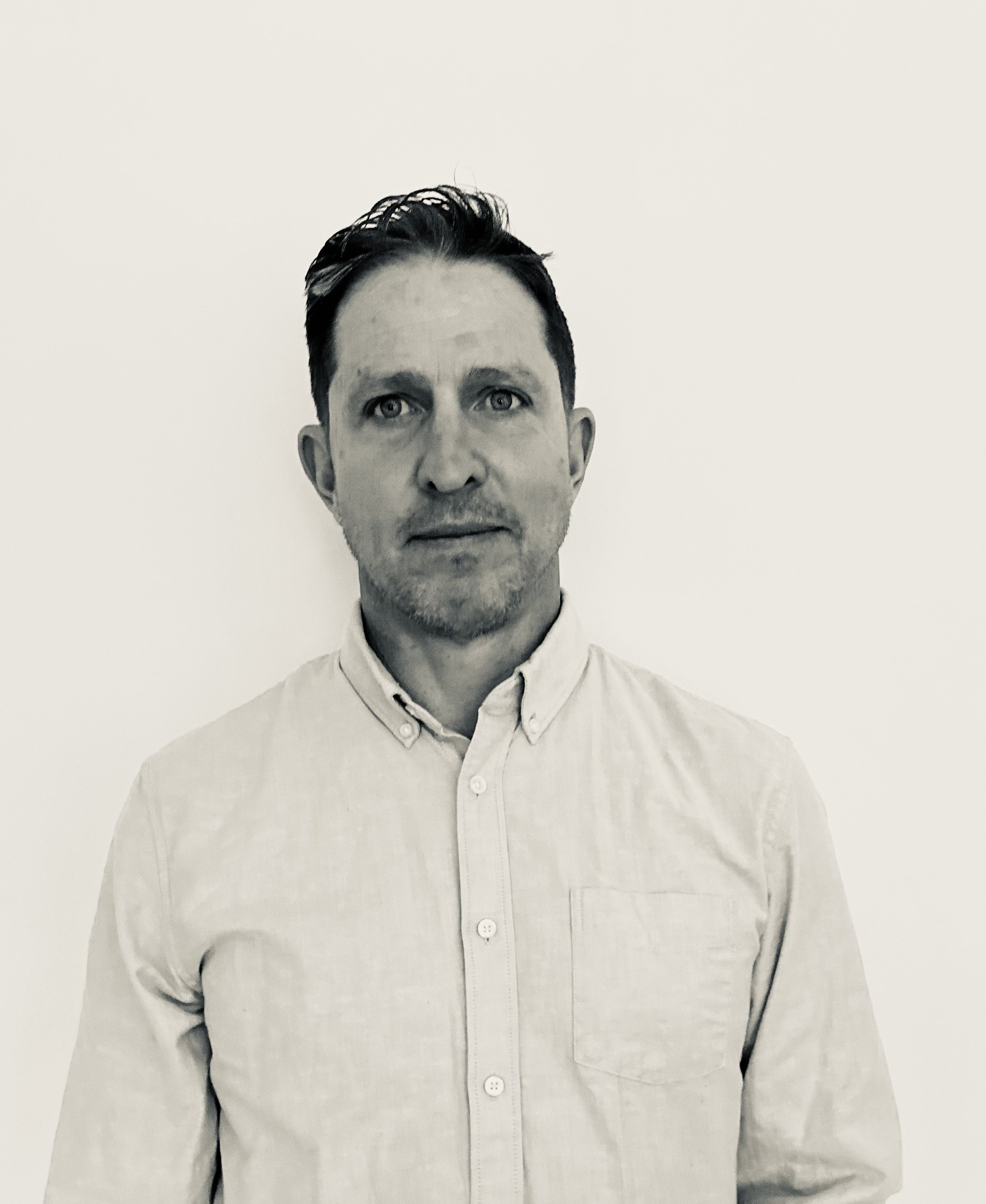
Coastal Geomatics - Steve Beffort
Hi, I’m Steve Beffort, founder of Coastal Geomatics. I have had an amazing career in Remote Sensing and Geomatics thus far. From extensive travel as a crew chief and geomatics tech, working around the globe on interesting and challenging projects, to collaborating with many amazing researchers, scientists and businesses, the last 15 years have been a truly incredible journey. Now it’s time to take the skills that I have honed, data collection, data processing and project management, to the next level. The next level is Coastal Geomatics.
I look forward to working with you.
Steve
CoastalGeomatic@gmail.com
250 480 9519